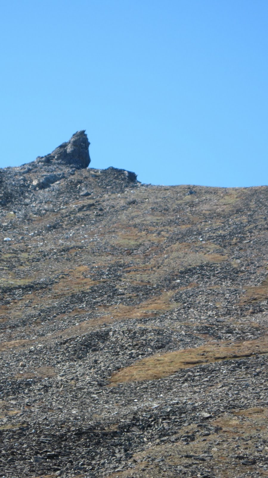
 ..saw this tor (left) on the hike out... was hoping to redeem myself for the "insufficient fifth class" foul I had received on the trip thus far... i bounded up the thousand-foot slope expecting a summit tor with mandatory 5.8, but it turned out the tor wasn't a tor at all, but more of a scarp, built into the hillside like a sod house... the back side required little more than class II moves to reach the top. .
 The west side of the tor, however, sported some precipice action... bouldered this 25 ft. route (right) to the summit of 2345.. warm, sunny day... curious little falling away sensation when you finally hang back into the air... thoughts in the head clean up desktop... tune in the head clarifies.... ear pressure changes white noise as assemblage point of energy body shifts... but it was only for a moment...
(above) A 2 m. chunk of white marble near the top of Pk. 2345. One sees these white rocks scattered everywhere around the Seward Peninsula. Have you ever mistaken one for a patch of snow? People will knowingly pronounce it to be quartz, but I believe the correct answer is marble.
The 2345 Tor I climbed, iamprettydarnsuresortof, was granitic gneiss... in other words, the pluton, a piece of the bedrock poking up through the shell of schist... Pk. 2345 is one of many triple clashing zones where the three dominant geologies of the Kigluaiks coexist in one place: the granite, the schist, and the marble.
The Amato/Miller map seems to refer to this spot as a "strike and dip of foliation" and gives a "trend of stretching lineation." Studying these geological hieroglyphics, which I am not fully equipped to understand, led me to believe the map was saying 2345 Tor was formed by a slippage along a fault line, like laying two books together and then sliding one up an inch... the tor is the part of the one book that's sticking out...
Too bad it wasn't the dream climb I came for... very recommendable as a hiker's summit... high meadows, soft tundra beds with flowers, a bit of decent rock awaiting more routes, falcons soaring nearby...

No comments:
Post a Comment